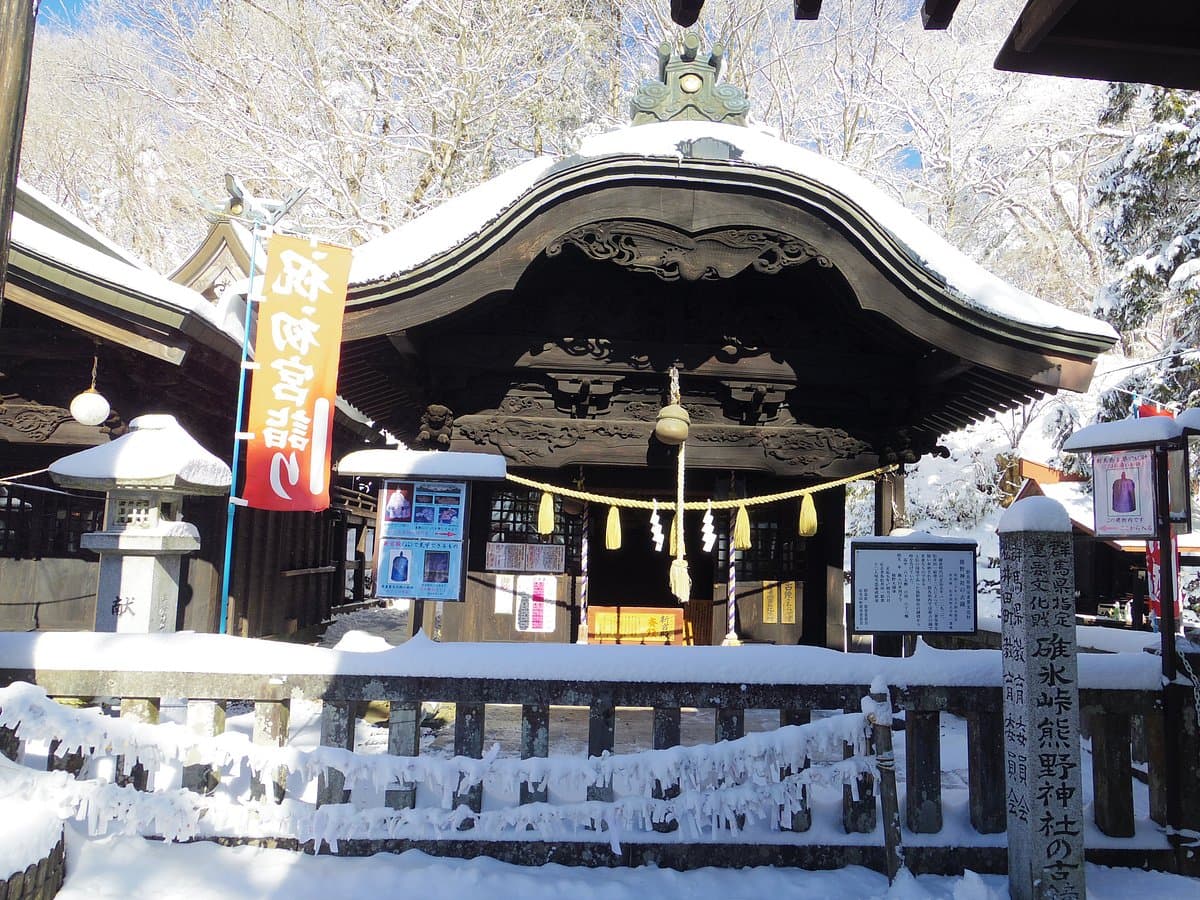
The Former Usuitouge View Point is a scenic overlook situated at the historic Usuitoge Pass, marking the boundary between Nagano and Gunma prefectures. It's significant for its strategic location on an ancient route and offers expansive views of the mountainous landscape. For many, the appeal lies in the unique experience of standing with one foot in each prefecture, a popular photo opportunity.
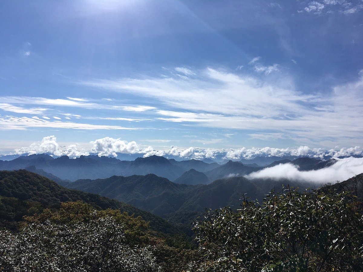
Visitors consistently praise the breathtaking panoramic views, especially during summer when the landscape is lush and green. On exceptionally clear days, some have reported seeing as far as Tokyo and even Mount Fuji, adding to the allure. The journey to the viewpoint itself is often highlighted as part of the experience, whether it's a winding, scenic drive or a rewarding hike. The dual temple nearby is also mentioned as an interesting stop in conjunction with the viewpoint.
For those planning a visit, it's advisable to check the weather forecast, as clear skies are essential for the best views. Many recommend visiting during summer for the vibrant greenery. If hiking, prepare for potentially narrow and slippery paths, and wear appropriate footwear. While some restaurants are mentioned at the top, visitors note they might not be exceptional, so consider bringing your own snacks or planning meals elsewhere. Allow at least an hour to fully appreciate the views and take photos, with more time if you plan to hike.
The viewpoint is accessible by bus from the train station, though visitors recommend checking the bus schedule in advance. For those driving, the road up can be narrow in places, allowing only one mid-sized car to pass, but Google Maps directions are generally accurate. Some visitors enjoy hiking up, which can take around 1.5 hours, or walking down the 'Usuitoge Uranhodo' footpath, a 40-minute descent. This footpath can be challenging to locate for some.
A common complaint relates to the variability of the views, which are highly dependent on weather conditions. Overcast or foggy days can significantly diminish the experience. To mitigate this, aim for a visit on a clear, sunny day. While the drive is scenic, the narrow sections can be a concern for some drivers; proceed with caution and be aware of oncoming traffic.